
Ondo topographic map
Interactive map
Click on the map to display elevation.
About this map
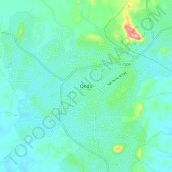
Name: Ondo topographic map, elevation, terrain.
Location: Ondo, Ondo West, Ondo, Nigeria (7.06000 4.79333 7.14000 4.87333)
Average elevation: 254 m
Minimum elevation: 216 m
Maximum elevation: 442 m