
Thank you for supporting this site ❤️
Make a donation
Make a donation
Hatpipalya topographic map
Click on the map to display elevation.
Thank you for supporting this site ❤️
Make a donation
Make a donation
Hatpipalya
Hatpipliya lies on the Malwa Plateau. Due of its high elevation and inland location, even during the hottest months of the year, the nights are relatively cool, which is known as Shab-e-Malwa. Three distinct seasons are observed: summer, monsoon and winter. Hatpipliya gets moderate rainfall of 960 millimetres (38 in), mostly during July–September due to the southwest monsoon.
Thank you for supporting this site ❤️
Make a donation
Make a donation
About this map
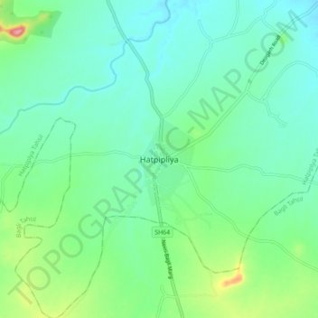
Name: Hatpipalya topographic map, elevation, terrain.
Average elevation: 523 m
Minimum elevation: 497 m
Maximum elevation: 602 m
Thank you for supporting this site ❤️
Make a donation
Make a donation