
Thank you for supporting this site ❤️
Make a donation
Make a donation
Sesayap topographic map
Click on the map to display elevation.
Thank you for supporting this site ❤️
Make a donation
Make a donation
About this map
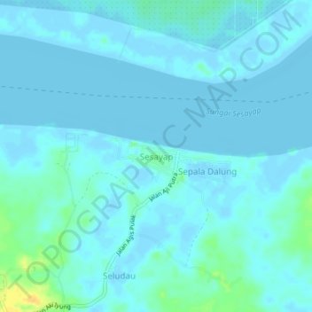
Name: Sesayap topographic map, elevation, terrain.
Location: Sesayap, Tana Tidung, North Kalimantan, Indonesia (3.56527 116.98492 3.60527 117.02492)
Average elevation: 3 m
Minimum elevation: -2 m
Maximum elevation: 25 m
Thank you for supporting this site ❤️
Make a donation
Make a donation