
Los Magueyes topographic map
Interactive map
Click on the map to display elevation.
About this map
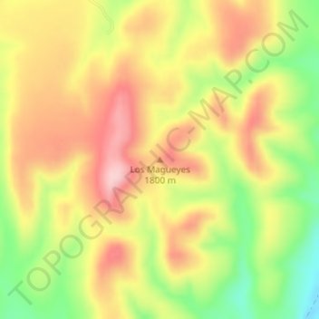
Name: Los Magueyes topographic map, elevation, terrain.
Location: Los Magueyes, Allende, Chihuahua, México (26.91319 -105.49127 26.91329 -105.49117)
Average elevation: 1,753 m
Minimum elevation: 1,645 m
Maximum elevation: 1,840 m
Other topographic maps
Click on a map to view its topography, its elevation and its terrain.
Rancho Blanco
México > Chihuahua > Allende > Rancho Blanco
Rancho Blanco, Allende, Chihuahua, México
Average elevation: 1,538 m
Valle de Allende
México > Chihuahua > Allende > Valle de Allende
Valle de Allende, Allende, Chihuahua, 33920, México
Average elevation: 1,631 m