
Thank you for supporting this site ❤️
Make a donation
Make a donation
Le Case topographic map
Click on the map to display elevation.
Thank you for supporting this site ❤️
Make a donation
Make a donation
About this map
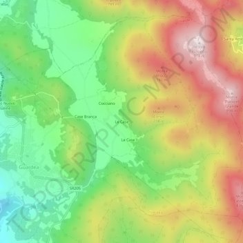
Name: Le Case topographic map, elevation, terrain.
Location: Le Case, Guardea, Terni, Umbria, 05025, Italia (42.61086 12.29847 42.65086 12.33847)
Average elevation: 544 m
Minimum elevation: 239 m
Maximum elevation: 909 m
Thank you for supporting this site ❤️
Make a donation
Make a donation