
Tameghza topographic map
Interactive map
Click on the map to display elevation.
About this map
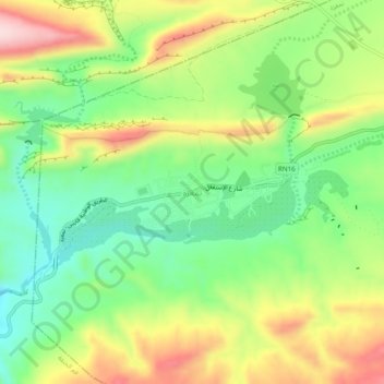
Name: Tameghza topographic map, elevation, terrain.
Location: Tameghza, Délégation Tameghza, Gouvernorat Tozeur, Tunisie (34.36639 7.91349 34.40639 7.95349)
Average elevation: 342 m
Minimum elevation: 218 m
Maximum elevation: 515 m