
Thank you for supporting this site ❤️
Make a donation
Make a donation
Hooks topographic map
Click on the map to display elevation.
Thank you for supporting this site ❤️
Make a donation
Make a donation
About this map
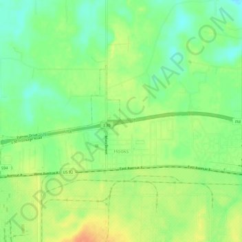
Name: Hooks topographic map, elevation, terrain.
Location: Hooks, Bowie County, Texas, 75561, United States (33.46491 -94.31275 33.48552 -94.25912)
Average elevation: 112 m
Minimum elevation: 94 m
Maximum elevation: 131 m
Thank you for supporting this site ❤️
Make a donation
Make a donation
Other topographic maps
Click on a map to view its topography, its elevation and its terrain.