
Thank you for supporting this site ❤️
Make a donation
Make a donation
Isnes topographic map
Click on the map to display elevation.
Thank you for supporting this site ❤️
Make a donation
Make a donation
About this map
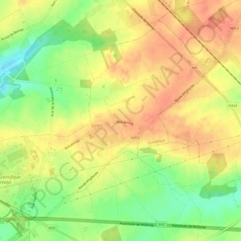
Name: Isnes topographic map, elevation, terrain.
Location: Isnes, Gembloers, Namen, Wallonië, België (50.49603 4.71023 50.52642 4.76771)
Average elevation: 175 m
Minimum elevation: 144 m
Maximum elevation: 195 m
Thank you for supporting this site ❤️
Make a donation
Make a donation
Other topographic maps
Click on a map to view its topography, its elevation and its terrain.