
Vineyards topographic map
Click on the map to display elevation.
About this map
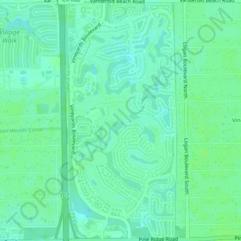
Name: Vineyards topographic map, elevation, terrain.
Location: Vineyards, Naples, Collier County, Florida, United States (26.21161 -81.73661 26.24400 -81.71956)
Average elevation: 6 m
Minimum elevation: 1 m
Maximum elevation: 10 m