
井岗镇 topographic map
Interactive map
Click on the map to display elevation.
About this map
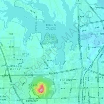
Name: 井岗镇 topographic map, elevation, terrain.
Location: 井岗镇, 蜀山区, 合肥市, 安徽省, 中国 (31.82925 117.14423 31.91488 117.22710)
Average elevation: 38 m
Minimum elevation: 11 m
Maximum elevation: 277 m
Other topographic maps
Click on a map to view its topography, its elevation and its terrain.