
Thank you for supporting this site ❤️
Make a donation
Make a donation
Kleinkorbetha topographic map
Click on the map to display elevation.
Thank you for supporting this site ❤️
Make a donation
Make a donation
About this map
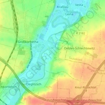
Name: Kleinkorbetha topographic map, elevation, terrain.
Average elevation: 112 m
Minimum elevation: 90 m
Maximum elevation: 138 m
Thank you for supporting this site ❤️
Make a donation
Make a donation
Other topographic maps
Click on a map to view its topography, its elevation and its terrain.
06667
Deutschland > Sachsen-Anhalt > Burgenlandkreis > Weißenfels > Markwerben
Average elevation: 161 m
Thank you for supporting this site ❤️
Make a donation
Make a donation
Thank you for supporting this site ❤️
Make a donation
Make a donation