
Thank you for supporting this site ❤️
Make a donation
Make a donation
Tenmile topographic map
Click on the map to display elevation.
Thank you for supporting this site ❤️
Make a donation
Make a donation
About this map
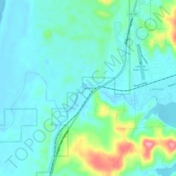
Name: Tenmile topographic map, elevation, terrain.
Location: Tenmile, Coos County, Oregon, 97449, United States (43.55607 -124.21636 43.59607 -124.17636)
Average elevation: 25 m
Minimum elevation: 0 m
Maximum elevation: 119 m
Thank you for supporting this site ❤️
Make a donation
Make a donation
Other topographic maps
Click on a map to view its topography, its elevation and its terrain.