
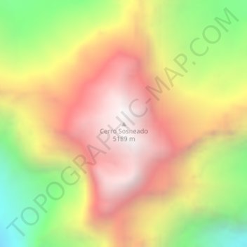
Cerro Sosneado topographic map
Interactive map
Click on the map to display elevation.
About this map
Name: Cerro Sosneado topographic map, elevation, terrain.
Average elevation: 4,430 m
Minimum elevation: 3,517 m
Maximum elevation: 5,183 m
Other topographic maps
Click on a map to view its topography, its elevation and its terrain.
El Sosneado
Argentina > Mendoza > Distrito Cuadro Benegas
El Sosneado, Distrito Cuadro Benegas, Departamento San Rafael, Mendoza, Argentina
Average elevation: 1,577 m