
Thank you for supporting this site ❤️
Make a donation
Make a donation
Tennyson topographic map
Click on the map to display elevation.
Thank you for supporting this site ❤️
Make a donation
Make a donation
About this map
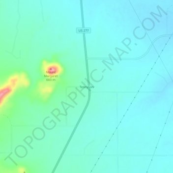
Name: Tennyson topographic map, elevation, terrain.
Location: Tennyson, Coke County, Texas, 76953, United States (31.72182 -100.30620 31.76182 -100.26620)
Average elevation: 571 m
Minimum elevation: 550 m
Maximum elevation: 678 m
Thank you for supporting this site ❤️
Make a donation
Make a donation
Other topographic maps
Click on a map to view its topography, its elevation and its terrain.