
Thank you for supporting this site ❤️
Make a donation
Make a donation
Mount Grinnell topographic map
Click on the map to display elevation.
Thank you for supporting this site ❤️
Make a donation
Make a donation
About this map
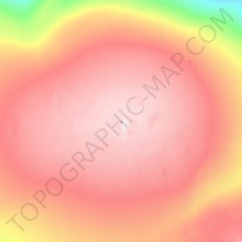
Name: Mount Grinnell topographic map, elevation, terrain.
Location: Mount Grinnell, Qikiqtaaluk Region, Nunavut, Canada (81.52145 -66.94014 81.52155 -66.94004)
Average elevation: 713 m
Minimum elevation: 377 m
Maximum elevation: 865 m
Thank you for supporting this site ❤️
Make a donation
Make a donation
Other topographic maps
Click on a map to view its topography, its elevation and its terrain.
Thank you for supporting this site ❤️
Make a donation
Make a donation
Thank you for supporting this site ❤️
Make a donation
Make a donation