
Shah Alam topographic map
Interactive map
Click on the map to display elevation.
About this map
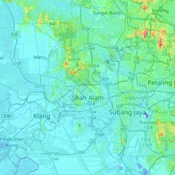
Name: Shah Alam topographic map, elevation, terrain.
Location: Shah Alam, Selangor, Malaysia (2.94969 101.42711 3.23003 101.59139)
Average elevation: 28 m
Minimum elevation: -47 m
Maximum elevation: 319 m
Other topographic maps
Click on a map to view its topography, its elevation and its terrain.