
Thank you for supporting this site ❤️
Make a donation
Make a donation
Col de Spandelles topographic map
Click on the map to display elevation.
Thank you for supporting this site ❤️
Make a donation
Make a donation
Col de Spandelles
Le col de Spandelles est un col de montagne pyrénéen à une altitude de 1 378 m, en Lavedan, dans le département français des Hautes-Pyrénées en Occitanie.
Thank you for supporting this site ❤️
Make a donation
Make a donation
About this map
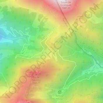
Name: Col de Spandelles topographic map, elevation, terrain.
Average elevation: 1,316 m
Minimum elevation: 847 m
Maximum elevation: 1,852 m
Thank you for supporting this site ❤️
Make a donation
Make a donation