
Burutu topographic map
Interactive map
Click on the map to display elevation.
About this map
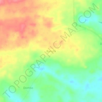
Name: Burutu topographic map, elevation, terrain.
Location: Burutu, Sud-Ubangi, Democratic Republic of the Congo (2.78985 19.47043 2.82985 19.51043)
Average elevation: 407 m
Minimum elevation: 367 m
Maximum elevation: 448 m