
Thank you for supporting this site ❤️
Make a donation
Make a donation
Kubu Mat Kilau topographic map
Click on the map to display elevation.
Thank you for supporting this site ❤️
Make a donation
Make a donation
About this map
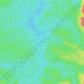
Name: Kubu Mat Kilau topographic map, elevation, terrain.
Location: Kubu Mat Kilau, Dungun, Terengganu, Malaysia (4.50243 102.93788 4.50253 102.93798)
Average elevation: 82 m
Minimum elevation: 55 m
Maximum elevation: 156 m
Thank you for supporting this site ❤️
Make a donation
Make a donation
Other topographic maps
Click on a map to view its topography, its elevation and its terrain.