
Thank you for supporting this site ❤️
Make a donation
Make a donation
Harleton topographic map
Click on the map to display elevation.
Thank you for supporting this site ❤️
Make a donation
Make a donation
About this map
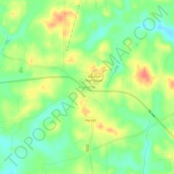
Name: Harleton topographic map, elevation, terrain.
Location: Harleton, Harrison County, Texas, 75651, United States (32.65658 -94.59398 32.69658 -94.55398)
Average elevation: 96 m
Minimum elevation: 70 m
Maximum elevation: 128 m
Thank you for supporting this site ❤️
Make a donation
Make a donation
Other topographic maps
Click on a map to view its topography, its elevation and its terrain.