
Hompesch topographic map
Click on the map to display elevation.
About this map
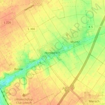
Name: Hompesch topographic map, elevation, terrain.
Location: Hompesch, Titz, Kreis Düren, North Rhine – Westphalia, Germany (50.95908 6.33359 50.99908 6.37359)
Average elevation: 97 m
Minimum elevation: 74 m
Maximum elevation: 109 m