
Thank you for supporting this site ❤️
Make a donation
Make a donation
Stockborn topographic map
Click on the map to display elevation.
Thank you for supporting this site ❤️
Make a donation
Make a donation
About this map
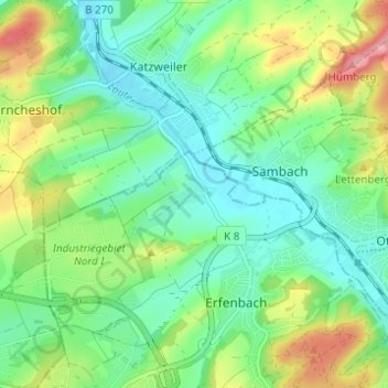
Name: Stockborn topographic map, elevation, terrain.
Location: Stockborn, Kaiserslautern, Rheinland-Pfalz, 67734, Deutschland (49.47068 7.68348 49.51068 7.72348)
Average elevation: 252 m
Minimum elevation: 209 m
Maximum elevation: 344 m
Thank you for supporting this site ❤️
Make a donation
Make a donation
Other topographic maps
Click on a map to view its topography, its elevation and its terrain.