
Thank you for supporting this site ❤️
Make a donation
Make a donation
Warsaw topographic map
Click on the map to display elevation.
Thank you for supporting this site ❤️
Make a donation
Make a donation
About this map
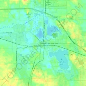
Name: Warsaw topographic map, elevation, terrain.
Location: Warsaw, Kosciusko County, Indiana, 4650, United States (41.19810 -85.89305 41.27810 -85.81305)
Average elevation: 255 m
Minimum elevation: 243 m
Maximum elevation: 279 m
Thank you for supporting this site ❤️
Make a donation
Make a donation