
Akureyrarbær topographic map
Interactive map
Click on the map to display elevation.
About this map
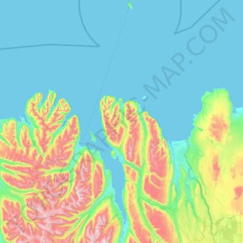
Name: Akureyrarbær topographic map, elevation, terrain.
Location: Akureyrarbær, Northeastern Region, Iceland (65.55307 -18.42137 66.56641 -17.97692)
Average elevation: 243 m
Minimum elevation: -5 m
Maximum elevation: 1,519 m