
Make a donation
Madeira topographic map
Click on the map to display elevation.
Make a donation
Madeira
The archipelago includes the islands of Madeira, Porto Santo, and the Desertas, administered together with the separate archipelago of the Savage Islands. Roughly half of the population lives in Funchal. The region has political and administrative autonomy through the Administrative Political Statute of the Autonomous Region of Madeira provided for in the Portuguese Constitution. The region is an integral part of the European Union as an outermost region. Madeira generally has a mild/moderate subtropical climate with mediterranean summer droughts and winter rain. Many microclimates are found at different elevations.
Make a donation
About this map
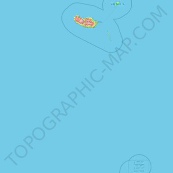
Name: Madeira topographic map, elevation, terrain.
Location: Madeira, Portugal (30.02878 -17.26593 33.12816 -15.85367)
Average elevation: 5 m
Minimum elevation: 0 m
Maximum elevation: 1,748 m
Make a donation
Other topographic maps
Click on a map to view its topography, its elevation and its terrain.