
Letterkenny topographic map
Click on the map to display elevation.
About this map
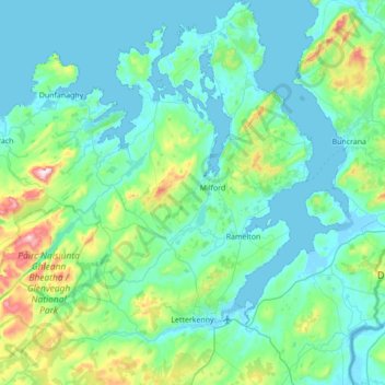
Name: Letterkenny topographic map, elevation, terrain.
Location: Letterkenny, County Donegal, Ulster, Ireland (54.88417 -8.11220 55.28052 -7.51796)
Average elevation: 92 m
Minimum elevation: -5 m
Maximum elevation: 661 m