
Thank you for supporting this site ❤️
Make a donation
Make a donation
Morgan Hill topographic map
Click on the map to display elevation.
Thank you for supporting this site ❤️
Make a donation
Make a donation
About this map
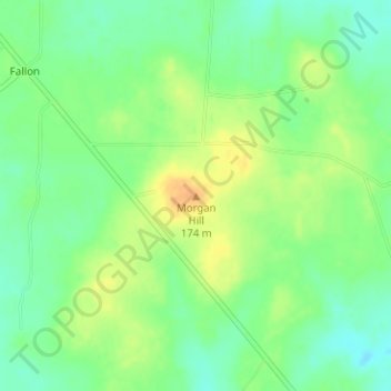
Name: Morgan Hill topographic map, elevation, terrain.
Location: Morgan Hill, Limestone County, Texas, United States (31.57234 -96.39253 31.57244 -96.39243)
Average elevation: 156 m
Minimum elevation: 140 m
Maximum elevation: 174 m
Thank you for supporting this site ❤️
Make a donation
Make a donation
Other topographic maps
Click on a map to view its topography, its elevation and its terrain.