
Thank you for supporting this site ❤️
Make a donation
Make a donation
New Auburn topographic map
Click on the map to display elevation.
Thank you for supporting this site ❤️
Make a donation
Make a donation
About this map
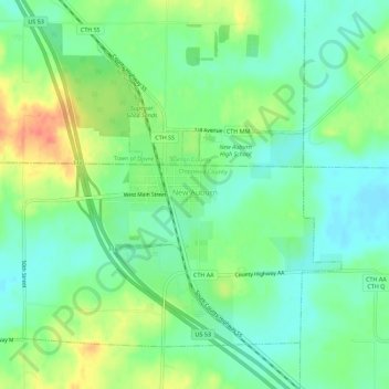
Name: New Auburn topographic map, elevation, terrain.
Location: New Auburn, Chippewa County, Wisconsin, United States (45.18840 -91.59311 45.21927 -91.53704)
Average elevation: 336 m
Minimum elevation: 318 m
Maximum elevation: 367 m
Thank you for supporting this site ❤️
Make a donation
Make a donation
Other topographic maps
Click on a map to view its topography, its elevation and its terrain.