
Thank you for supporting this site ❤️
Make a donation
Make a donation
Rothschild topographic map
Click on the map to display elevation.
Thank you for supporting this site ❤️
Make a donation
Make a donation
About this map
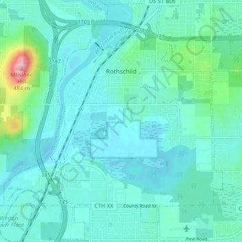
Name: Rothschild topographic map, elevation, terrain.
Location: Rothschild, Marathon County, Wisconsin, 54474, United States (44.85109 -89.65574 44.90178 -89.58248)
Average elevation: 367 m
Minimum elevation: 346 m
Maximum elevation: 491 m
Thank you for supporting this site ❤️
Make a donation
Make a donation
Other topographic maps
Click on a map to view its topography, its elevation and its terrain.