
Thank you for supporting this site ❤️
Make a donation
Make a donation
Benkel topographic map
Click on the map to display elevation.
Thank you for supporting this site ❤️
Make a donation
Make a donation
About this map
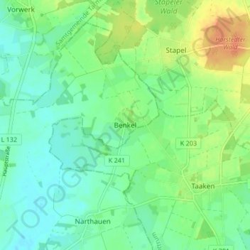
Name: Benkel topographic map, elevation, terrain.
Location: Benkel, Ottersberg, Landkreis Verden, Niedersachsen, Deutschland (53.14810 9.16626 53.18810 9.20626)
Average elevation: 29 m
Minimum elevation: 16 m
Maximum elevation: 53 m
Thank you for supporting this site ❤️
Make a donation
Make a donation