
Roundtop Mountain topographic map
Click on the map to display elevation.
About this map
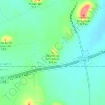
Name: Roundtop Mountain topographic map, elevation, terrain.
Average elevation: 320 m
Minimum elevation: 297 m
Maximum elevation: 389 m
Other topographic maps
Click on a map to view its topography, its elevation and its terrain.
Mineral Wells Fossil Park
United States > Texas > Palo Pinto County > Mineral Wells
Average elevation: 283 m