
Matucana topographic map
Interactive map
Click on the map to display elevation.
About this map
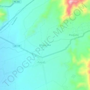
Name: Matucana topographic map, elevation, terrain.
Location: Matucana, Province of Huaral, Lima, Peru (-11.50122 -77.13858 -11.46122 -77.09858)
Average elevation: 346 m
Minimum elevation: 279 m
Maximum elevation: 624 m