
Thank you for supporting this site ❤️
Make a donation
Make a donation
Larrea topographic map
Click on the map to display elevation.
Thank you for supporting this site ❤️
Make a donation
Make a donation
About this map
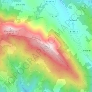
Name: Larrea topographic map, elevation, terrain.
Location: Larrea, Güeñes, Vizcaya, País Vasco, 48191, España (43.23503 -3.10984 43.23513 -3.10974)
Average elevation: 352 m
Minimum elevation: 151 m
Maximum elevation: 623 m
Thank you for supporting this site ❤️
Make a donation
Make a donation