
Thank you for supporting this site ❤️
Make a donation
Make a donation
Strömhult topographic map
Click on the map to display elevation.
Thank you for supporting this site ❤️
Make a donation
Make a donation
About this map
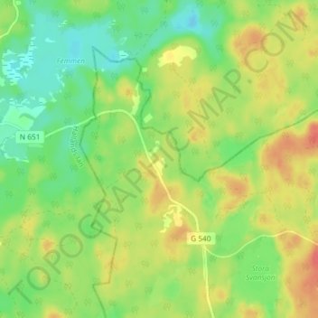
Name: Strömhult topographic map, elevation, terrain.
Location: Strömhult, Ljungby kommun, Provinz Kronoberg, 314 91, Schweden (56.84012 13.32969 56.88012 13.36969)
Average elevation: 165 m
Minimum elevation: 142 m
Maximum elevation: 192 m
Thank you for supporting this site ❤️
Make a donation
Make a donation
Other topographic maps
Click on a map to view its topography, its elevation and its terrain.