
Thank you for supporting this site ❤️
Make a donation
Make a donation
Rail topographic map
Click on the map to display elevation.
Thank you for supporting this site ❤️
Make a donation
Make a donation
About this map
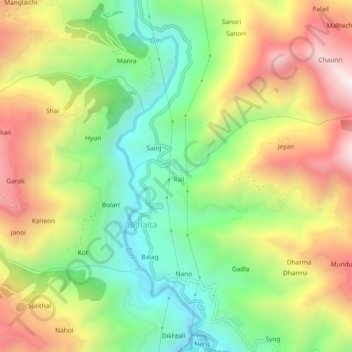
Name: Rail topographic map, elevation, terrain.
Location: Rail, Bijhalta, Theog, Shimla, Himachal Pradesh, 171226, India (31.01892 77.35573 31.05892 77.39573)
Average elevation: 1,546 m
Minimum elevation: 1,118 m
Maximum elevation: 2,086 m
Thank you for supporting this site ❤️
Make a donation
Make a donation