
Thank you for supporting this site ❤️
Make a donation
Make a donation
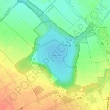
Blausteinsee topographic map
Click on the map to display elevation.
Thank you for supporting this site ❤️
Make a donation
Make a donation
Blausteinsee
Am 5. Oktober 1994 begann die Befüllung des Blausteinsees. Die Wasserfontäne befand sich etwa in Seemitte rund 500 m vom Ufer entfernt und spritzte mit etwa 210 Litern Wasser pro Sekunde 40 m in die Höhe. Jährlich flossen bis zu 6,7 Millionen Kubikmeter Wasser in den See, und für die Erstbefüllung waren mindestens 75 Millionen Kubikmeter erforderlich, da bis zu 50 Millionen Kubikmeter Wasser versickerten bzw. verdunsteten.
Thank you for supporting this site ❤️
Make a donation
Make a donation
About this map
Name: Blausteinsee topographic map, elevation, terrain.
Average elevation: 143 m
Minimum elevation: 122 m
Maximum elevation: 168 m
Thank you for supporting this site ❤️
Make a donation
Make a donation