
Thank you for supporting this site ❤️
Make a donation
Make a donation
Mow Cop topographic map
Click on the map to display elevation.
Thank you for supporting this site ❤️
Make a donation
Make a donation
About this map
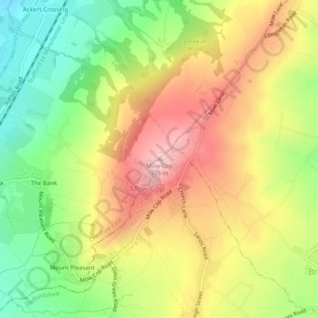
Name: Mow Cop topographic map, elevation, terrain.
Location: Mow Cop, Cheshire East, England, ST7 3PF, United Kingdom (53.11485 -2.21307 53.11495 -2.21297)
Average elevation: 220 m
Minimum elevation: 112 m
Maximum elevation: 330 m
Thank you for supporting this site ❤️
Make a donation
Make a donation
Other topographic maps
Click on a map to view its topography, its elevation and its terrain.