Geolocate
👉 Easily get elevation data in JSON, GeoTIFF and KML formats using Elevation API
Thank you for supporting this site ❤️
Make a donation

Jebba topographic map

Click on the map to display elevation.

👉 Easily get elevation data in JSON, GeoTIFF and KML formats using Elevation API
Thank you for supporting this site ❤️
Make a donation

About this map

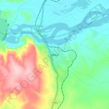
Name: Jebba topographic map, elevation, terrain.

Location: Jebba, Moro, Kwara State, Nigeria (9.08049 4.78379 9.16049 4.86379)

Average elevation: 137 m

Minimum elevation: 69 m

Maximum elevation: 298 m