
Thank you for supporting this site ❤️
Make a donation
Make a donation
Oka-Oka topographic map
Click on the map to display elevation.
Thank you for supporting this site ❤️
Make a donation
Make a donation
About this map
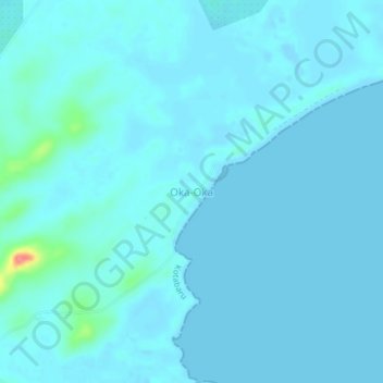
Name: Oka-Oka topographic map, elevation, terrain.
Location: Oka-Oka, Kotabaru, South Kalimantan, Kalimantan, Indonesia (-3.97471 116.18402 -3.93471 116.22402)
Average elevation: 6 m
Minimum elevation: -5 m
Maximum elevation: 73 m
Thank you for supporting this site ❤️
Make a donation
Make a donation