
Thank you for supporting this site ❤️
Make a donation
Make a donation
Maiyegun topographic map
Click on the map to display elevation.
Thank you for supporting this site ❤️
Make a donation
Make a donation
About this map
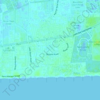
Name: Maiyegun topographic map, elevation, terrain.
Location: Maiyegun, Eti Osa, Lagos State, 105102, Nigeria (6.41333 3.49667 6.45333 3.53667)
Average elevation: 2 m
Minimum elevation: -5 m
Maximum elevation: 10 m
Thank you for supporting this site ❤️
Make a donation
Make a donation