
Thank you for supporting this site ❤️
Make a donation
Make a donation
Le Kram topographic map
Click on the map to display elevation.
Thank you for supporting this site ❤️
Make a donation
Make a donation
About this map
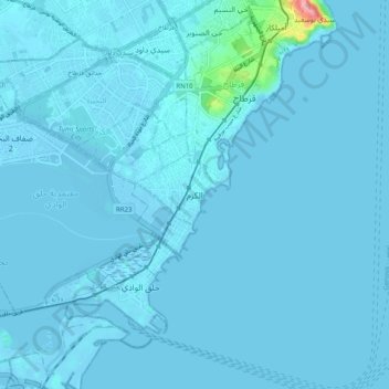
Name: Le Kram topographic map, elevation, terrain.
Location: Le Kram, Gouvernorat Tunis, 2025, Tunisie (36.79483 10.27815 36.87483 10.35815)
Average elevation: 4 m
Minimum elevation: -7 m
Maximum elevation: 123 m
Thank you for supporting this site ❤️
Make a donation
Make a donation