
Thank you for supporting this site ❤️
Make a donation
Make a donation
Bursledon topographic map
Click on the map to display elevation.
Thank you for supporting this site ❤️
Make a donation
Make a donation
About this map
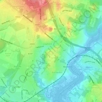
Name: Bursledon topographic map, elevation, terrain.
Location: Bursledon, Eastleigh, Hampshire, England, United Kingdom (50.87145 -1.33382 50.90442 -1.29489)
Average elevation: 28 m
Minimum elevation: -5 m
Maximum elevation: 78 m
Thank you for supporting this site ❤️
Make a donation
Make a donation