
Thank you for supporting this site ❤️
Make a donation
Make a donation
First Bay topographic map
Click on the map to display elevation.
Thank you for supporting this site ❤️
Make a donation
Make a donation
About this map
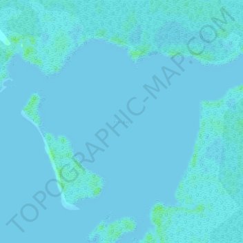
Name: First Bay topographic map, elevation, terrain.
Location: First Bay, Monroe County, Florida, United States (25.54867 -81.19818 25.54877 -81.19808)
Average elevation: 1 m
Minimum elevation: 0 m
Maximum elevation: 9 m
Thank you for supporting this site ❤️
Make a donation
Make a donation
Other topographic maps
Click on a map to view its topography, its elevation and its terrain.
Thank you for supporting this site ❤️
Make a donation
Make a donation
Thank you for supporting this site ❤️
Make a donation
Make a donation
Thank you for supporting this site ❤️
Make a donation
Make a donation
Thank you for supporting this site ❤️
Make a donation
Make a donation