
Gagere topographic map
Interactive map
Click on the map to display elevation.
About this map
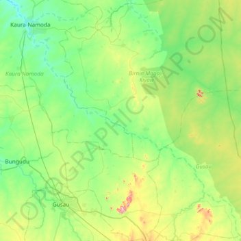
Name: Gagere topographic map, elevation, terrain.
Location: Gagere, Dan' Isa, Kaura Namoda, Zamfara, Nigeria (12.07827 6.53207 12.65169 7.10127)
Average elevation: 448 m
Minimum elevation: 363 m
Maximum elevation: 734 m