
Thank you for supporting this site ❤️
Make a donation
Make a donation
Eckenhagen topographic map
Click on the map to display elevation.
Thank you for supporting this site ❤️
Make a donation
Make a donation
Eckenhagen
Diese Tour ist die zweitlängste Tour des Fahrradparks und hat 550 Höhenmeter und Steigungen zum Teil über 10 %.
Thank you for supporting this site ❤️
Make a donation
Make a donation
About this map
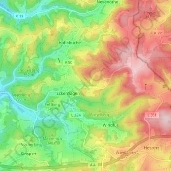
Name: Eckenhagen topographic map, elevation, terrain.
Average elevation: 368 m
Minimum elevation: 242 m
Maximum elevation: 511 m
Thank you for supporting this site ❤️
Make a donation
Make a donation