
Thank you for supporting this site ❤️
Make a donation
Make a donation
Hammonville topographic map
Click on the map to display elevation.
Thank you for supporting this site ❤️
Make a donation
Make a donation
About this map
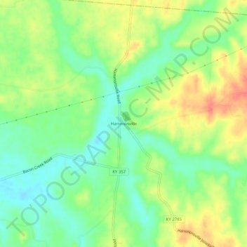
Name: Hammonville topographic map, elevation, terrain.
Location: Hammonville, Hart County, Kentucky, United States (37.39478 -85.81746 37.43478 -85.77746)
Average elevation: 232 m
Minimum elevation: 208 m
Maximum elevation: 261 m
Thank you for supporting this site ❤️
Make a donation
Make a donation
Other topographic maps
Click on a map to view its topography, its elevation and its terrain.