
Pader topographic map
Interactive map
Click on the map to display elevation.
About this map
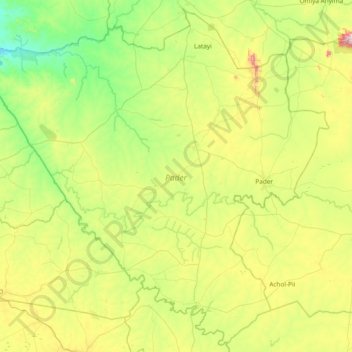
Name: Pader topographic map, elevation, terrain.
Location: Pader, Northern Region, Uganda (2.52963 32.46946 3.24914 33.22540)
Average elevation: 1,009 m
Minimum elevation: 732 m
Maximum elevation: 1,663 m