
Bellac topographic map
Click on the map to display elevation.
About this map
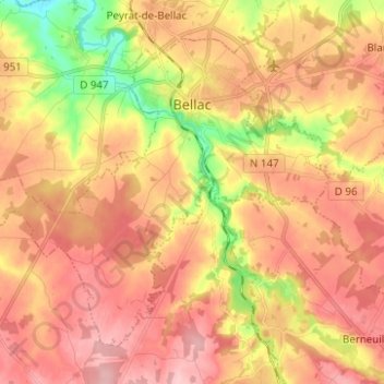
Name: Bellac topographic map, elevation, terrain.
Average elevation: 251 m
Minimum elevation: 165 m
Maximum elevation: 306 m
Other topographic maps
Click on a map to view its topography, its elevation and its terrain.
La Bachellerie-du-Nord
France > Nouvelle-Aquitaine > Haute-Vienne > Saint-Yrieix-la-Perche
Average elevation: 386 m