
Thank you for supporting this site ❤️
Make a donation
Make a donation
Petit Jean Mountain topographic map
Click on the map to display elevation.
Thank you for supporting this site ❤️
Make a donation
Make a donation
About this map
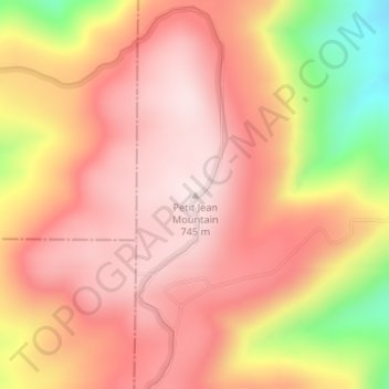
Name: Petit Jean Mountain topographic map, elevation, terrain.
Location: Petit Jean Mountain, Yell County, Arkansas, United States (35.02282 -93.69997 35.02292 -93.69987)
Average elevation: 598 m
Minimum elevation: 305 m
Maximum elevation: 741 m
Thank you for supporting this site ❤️
Make a donation
Make a donation
Other topographic maps
Click on a map to view its topography, its elevation and its terrain.