
Thank you for supporting this site ❤️
Make a donation
Make a donation
Bukerere topographic map
Click on the map to display elevation.
Thank you for supporting this site ❤️
Make a donation
Make a donation
About this map
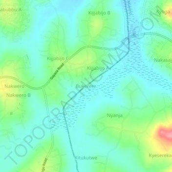
Name: Bukerere topographic map, elevation, terrain.
Location: Bukerere, Mukono, Central Region, Uganda (0.44667 32.64667 0.48667 32.68667)
Average elevation: 1,125 m
Minimum elevation: 1,099 m
Maximum elevation: 1,200 m
Thank you for supporting this site ❤️
Make a donation
Make a donation